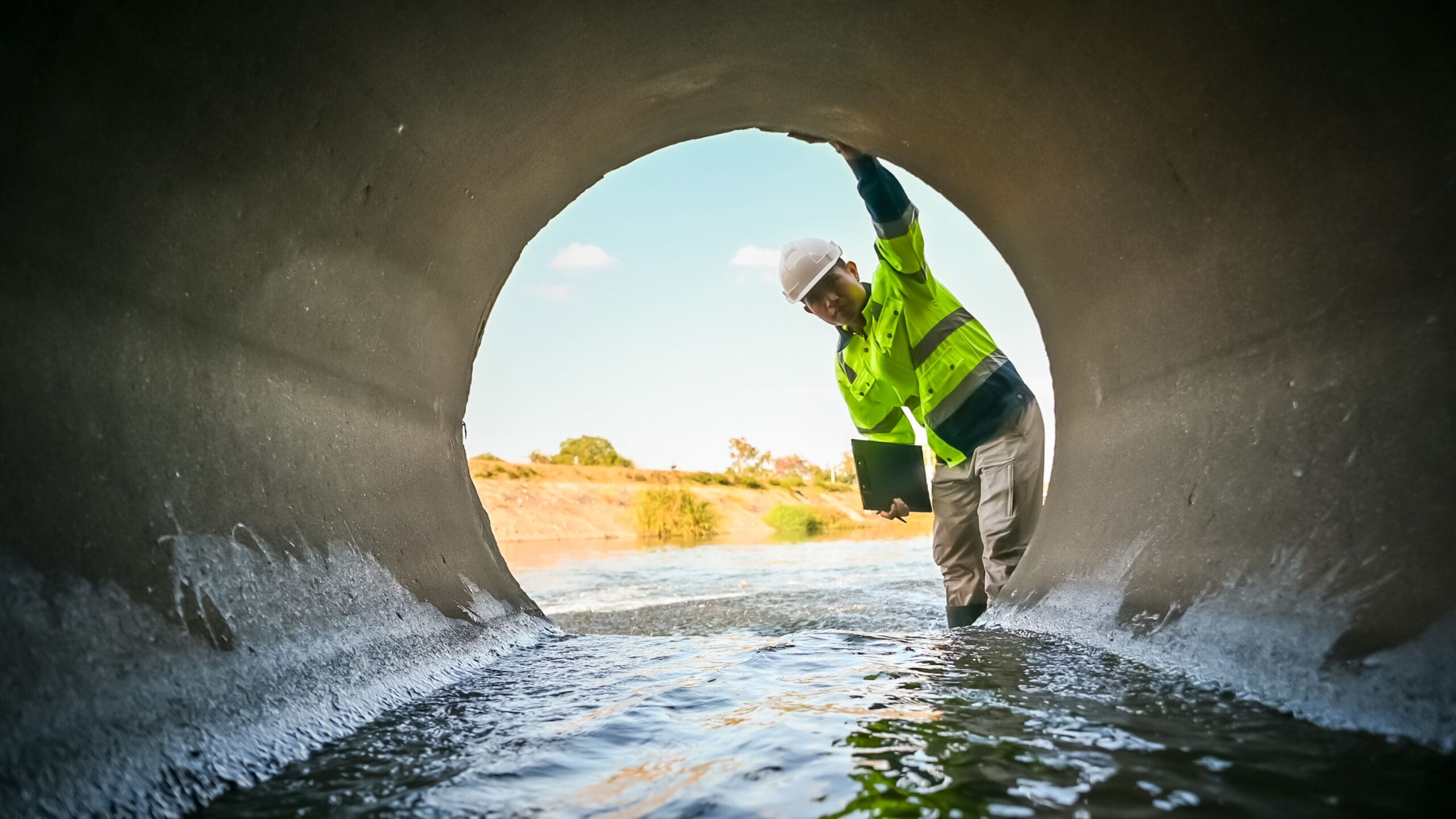
For utility companies, effectively managing assets, documenting those activities, and scheduling any necessary maintenance or damage response is essential to promoting operational efficiencies and service uptime. Having real-time data on how personnel, equipment, and infrastructure are performing across the service area allows utility field crews and back-office teams to streamline the scheduling of routine maintenance, inspections, and service calls, and enables the swift response times consumers expect when outages occur.
To unlock the high levels of situational awareness utility companies need today, they are increasingly investing in advanced GIS mapping solutions that capture and process field asset data digitally, in real time. With this critical infrastructure data at their fingertips, field operations teams can quickly assess conditions on the ground and make more informed scheduling, dispatching, and planning decisions accordingly.
So, how can utilities leverage GIS asset management technologies to improve their operations, reduce outages, and deliver safer, more reliable energy to the customers they serve? Here are a few pivotal use cases for GIS mapping solutions that speak to the benefits of the technology.
1. Using data to drive maintenance and repair decisions
GIS mapping technology allows utility companies to automatically trace and track the history and condition of infrastructure assets throughout their lifecycles. With the technology, utilities can also track the exact whereabouts of field crews, equipment, and vehicles in real time – and view all this field data through one holistic, digital map-based interface. Using intuitive navigation tools, these interactive dashboards allow back-office teams to drill down into inspection, maintenance, and repair records for infrastructure assets displayed on the map, determine which assets are in most need of servicing, and – with touch-screen simplicity – automatically generate field crew assignments, work orders, and dispatching instructions accordingly.
2. Leveraging data to expedite field crew scheduling
Modern GIS mapping solutions drive scheduling across the entire service area as well, allowing back-office teams to automate the many processes and workflows involved in field operations management. Because field data is seamlessly integrated across a utility company’s enterprise, field crew scheduling can be conducted based on a breadth of information, including which crew members are available at any given time, what their skillsets are, and their proximity to infrastructure assets in need of attention. Once field work is scheduled, the work orders are immediately accessible for viewing and processing by all stakeholders, from back-office teams to crews out in the field. The most advanced solutions on the market also include route optimization tools that automatically provide field workers with the fastest route to get to their next assignments.
3. Reducing manual touchpoints – and the associated human errors
Field data collection today is still typically handled through a hybrid model whereby information is captured through both digital and manual processes. For back-office scheduling and dispatching teams, that often means scanning and keying in data from hand-written field crew notes and schematics and combining it with digital photos, video footage, online communications, and other data sources. This labor-intensive data collection process slows operational productivity, hampers decision-making processes, and is prone to human error. With an advanced GIS mapping solution in place, utilities can take advantage of integrated workflow automation technology to digitally collect, process, store, and synch field data across systems and applications. As a result, they can dramatically reduce the manual labor involved in data collection – and eliminate opportunities for clerical errors as a result.
Contact an Epoch Sales Consultant today ⟶
4. Establishing a comprehensive, centralized data repository
Crews need real-time access to field data to get their work done properly once on site. When data access is limited – or when field data is outdated altogether – crews must pause what they are doing and check in with the home office by phone or email to clarify their next steps. Using an advanced GIS mapping solution allows all stakeholders, from frontline field crews to back-office schedulers and dispatchers, to be working off the same page, with data on infrastructure assets synched in real time across all the systems, applications, and devices they use. In turn, field crews arrive on site with full visibility into what needs to be done so they can conduct routine work more efficiently and strategically address any unplanned issues as well.
5. Leveraging mobile devices in the field
Field crews are comprised of a mix of full-time, part-time, and contracted workers, each with their own smartphones, tablets, and other computing devices. And they are employed by utilities in the thousands. To keep field crews seamlessly connected and communicating with back-office teams, the most advanced GIS mapping solutions on the market come with a mobile app that is easily downloaded and operated from any Windows, Android, or iOS-based device. Empowering field crews with the ability to conduct and report on their work via their own smartphones equips all employees with the data they need to nimbly and intelligently respond to conditions in the field, collaborate and troubleshoot more effectively, and better ensure that infrastructure assets are performing optimally.
6. Improving customer experiences
Today’s digital-first consumers and businesses have come to expect broad real-time data access for virtually any service they use – from Amazon deliveries to Uber ridesharing and restaurant wait times – and they expect the same kind of experience from utilities. The deep situational awareness enabled by GIS asset management tools allows utility employees that interact with the public – from contact center agents to field crew teams – to keep customers informed on exactly when workers will arrive, what type of work is being performed, and how quickly services will be restored.
7. Saving time, labor, and costs
Without the deep data access and visibility enabled by GIS mapping technologies, utilities may find their crews crisscrossing the vast service areas they manage to address issues that pop up unexpectedly in a scattershot manner. By contrast, having geospatial data universally accessible allows utility company employees to move from a reactive posture to a more proactive stance, in which they can identify and mitigate infrastructure issues and risks before costly outages occur. As a result, an investment in GIS asset management technology helps utility companies operate more efficiently and strategically, cut their response times, save time and labor, and deliver better outcomes for the communities they serve.
Discover how an advanced, platform-grade field asset management solution featuring GIS technology can digitally transform your field operations. Watch our video.


Investing in a GIS-Powered Field Management Platform
Utilities benefit from real-time visibility into assets, crews, and infrastructure across their service territories. A GIS-enabled field management platform improves operational efficiency, accelerates scheduling, supports faster outage response, and enables more informed maintenance decisions. By centralizing infrastructure data and workforce coordination, utilities can streamline inspections, repairs, and service calls while improving reliability.
GIS mapping technology allows utilities to trace asset history, track condition data, and visualize infrastructure in an interactive, map-based interface. This enables operations teams to quickly identify which assets require attention, drill into inspection and maintenance records, and automatically generate work orders and dispatch instructions — reducing guesswork and reactive maintenance.
Modern GIS solutions integrate real-time workforce availability, skillsets, proximity to assets, and infrastructure condition data into a single system. With this visibility, back-office teams can automate dispatching, assign the right crew to the right job faster, and leverage route optimization tools to minimize travel time and improve productivity.
Traditional data collection often involves hybrid digital and manual processes, increasing the risk of human error and delays. An advanced GIS platform digitizes data capture, syncs field information across systems in real time, and automates workflows to reduce manual touchpoints and improve data accuracy.