Get a Demo

A Complete Guide to Field Service Management Using GIS for Utilities

The utility industry is going through digital transformation and companies in this space, whether electric or gas, are facing significant changes in many areas of their business. Perhaps the most critical is the need to adapt how field work is being managed and operationalized. 

Advanced Geospatial Data Integration for Field Workforce Management

Digitizing workflows and automating systems will vastly improve utility services, but too often systems and line workers are relying on yesterday’s solutions to solve today’s problems. In addition, for many utilities, data collection is largely still a manual process, while for others it involves a mix of technological steps and manual record keeping.

As utility providers fight to remain relevant in an industry ripe for growth, they must look to advanced technologies designed for the sector, specifically geospatial solutions like utility mapping and spatial analysis.

Consulting
Chapter 1

The Challenges of Geospatial Data Integration for Utility Companies

Utility companies address a myriad of challenges every day, including deploying, scheduling, and managing field workforces; digitizing, automating, and integrating field data; increased weather-related outages; and many others. All these challenges have data as a critical element to potential solutions; geospatial data is chief among them.

Regardless of how geospatial information is aggregated, the data must ultimately be formatted in a standardized manner and then keyed in or uploaded to a central database for operational use. Some of the greatest challenges for utility companies today revolve around managing the field data so critical to performing infrastructure inspections, maintenance, repairs, and other routine tasks.

Challenge #1: Outdated Utility Maps

Keeping utility maps up to date presents challenges due to the vast geographic areas most utility companies serve. And failure to do so comes with ramifications. In fact, whenever an outdated, inaccurate utility map is disseminated into the field, confusion persists – causing operational errors and delays that can cost valuable time and resources.

Consulting
A Complete Guide to Geospatial Technology for the Utility Industry

Challenge #2: Limited Internet Access

Consider also that field workers are often deployed to remote locales that lack connectivity to the Internet. When this is the case, they are tasked with recording key geospatial information manually or entering it into mobile devices offline when the functionality of data collection applications is limited or turned off altogether. This leads to inaccuracies in geospatial data records and delays in disseminating data to other stakeholders. This also presents a problem when they need to download specific information for their work order to understand the problem they are addressing.

Challenge #3: Too Much Data to Process

The amount of data utilities must manage today is increasing, and rapidly. In addition to the reams of paper maps and documentation generated by field workers as they survey assets, new streams of geospatial data are constantly being produced by an array of mobile devices, satellites, LiDAR systems, and aircraft.

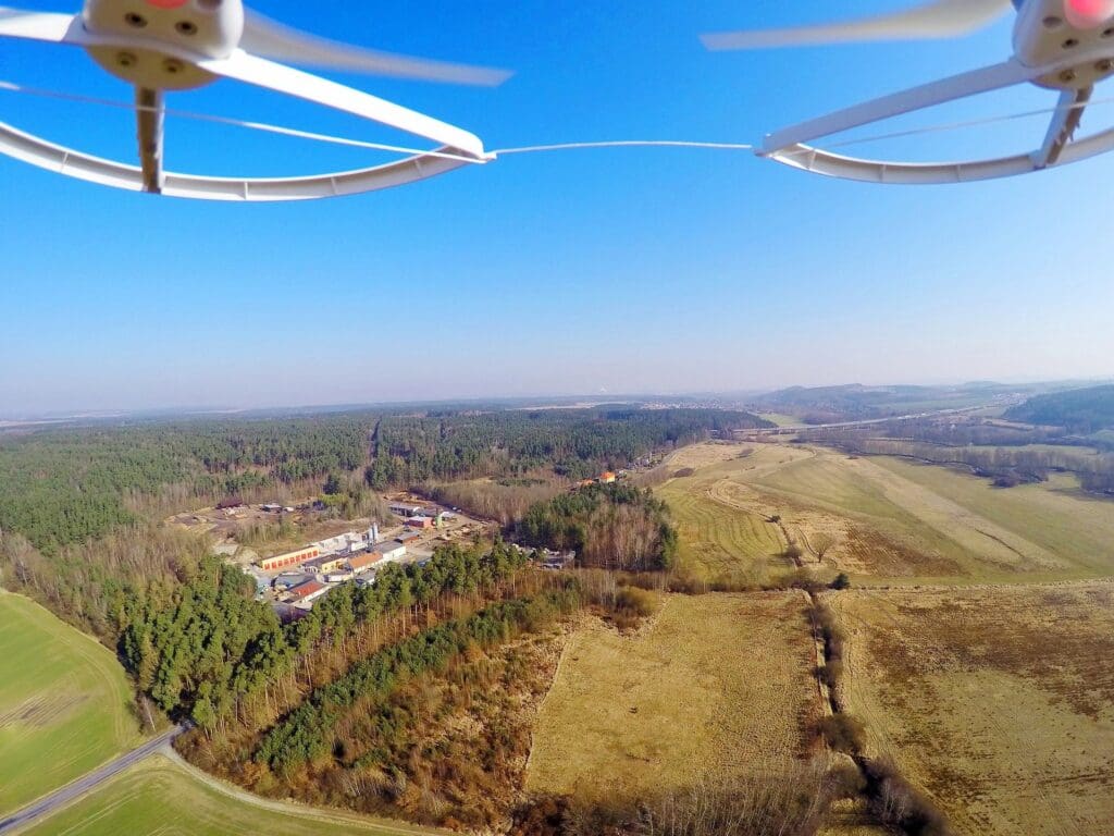
In particular, the proliferation of camera-equipped satellites and drones has impacted the utility industry. And while all of this means there is far more geospatial information available to inform a utility company’s field operations, most utilities are ill-equipped technologically to handle such high volumes of data.

Saddled with outdated legacy computer systems and applications, they lack the scalability, enterprise-wide integration, and high-performance computing needed to share and process all the data they are receiving in a timely manner.

qtq80-ctjQLT
A Complete Guide to Geospatial Technology for the Utility Industry

Challenge #4: Regulatory Headwinds

Advancing regulatory mandates present additional challenges for utility companies, requiring them to track and trace the location and condition of their infrastructure assets at ever-more granular levels.

Solving Today's Challenges Through Field Service Management Using Geospatial Innovation

To successfully navigate the complexities of the industry, utility companies must modernize their infrastructure to facilitate their own future growth, as well as the technological advances that will continue to reshape the industry. Fortunately, a new generation of geospatial technologies is fast emerging, bringing with it the enhanced computing power, scalability, and intelligent automation needed to process the high volumes of geospatial information utility companies rely on to run their field operations.

Contact us to learn about field service management utilizing GIS mapping software for utilities.

Chapter 2

What Is Geospatial Technology?

Simply put, geospatial technologies help utility companies manage geospatial data. Geospatial data is information portrayed on a map that relates to a place or event on or near the Earth’s surface. Geospatial data and specifically geospatial mapping are used by utility companies for two primary purposes:

#1
To identify locations and events that are static and that don’t change over time, such as where an existing building is situated on a property or the site of a previous power outage
#2
To identify locations and track events that are dynamic in nature, such as the spread of a wildfire or rising flood waters​

Geospatial information collected by utility companies typically includes the following:

Location of an asset or event, such as the coordinates on Earth where a pipeline has burst or a power line has gone down
Production information, such as the product name of an asset, its serial number, and the facility where it was manufactured
Temporal data, such as the time an outage occurred with corresponding images of the event as it unfolded
Chapter 3

The Importance of GIS Mapping Tools

Geospatial technologies are used by utilities to capture, store, manage, and share geospatial information. Within the utility industry, there are various types of geospatial technologies designed to address a variety of utility industry demands.

At the low end of the market, a range of specific point solutions is available that perform a single function within the overall data processing workflow. However, a better approach for utilities is to implement a full-featured enterprise-wide platform designed to automate the collection and management of geospatial mapping information in one seamless workflow.

The most sophisticated solutions on the market today display utility company geospatial data digitally, via interactive maps that allow users to drill down and view pertinent details, such as when an event occurred or the current state of an infrastructure asset’s surrounding terrain.

Technology partner
Chapter 4

Enhanced Operations, Planning, & Productivity

The benefits of an enterprise-wide solution are widespread for utility companies. For example, the ability to share real-time data across the geographic area serviced by a utility enables more detailed and accurate tracking of the condition of assets so they can be inspected, serviced, and repaired in a timely manner.  The ability to visualize spatial information in a digital format also enables better, more precise predictive models. Intelligent systems empower utility companies to manage the thousands of field workers needed to maintain a power grid, ensure gas line efficacy, or deploy an efficient and effective disaster response.

With highly detailed, dynamically updated infrastructure maps and data available to them, utility companies can also more accurately project the time and costs involved in a field operation and complete the work in ways that save on costs, restore services faster, and reduce environmental impacts.

Oil and gas field asset management
Increasing Readiness and Assessment Efficiency with a Sound Damage Assessment Solution

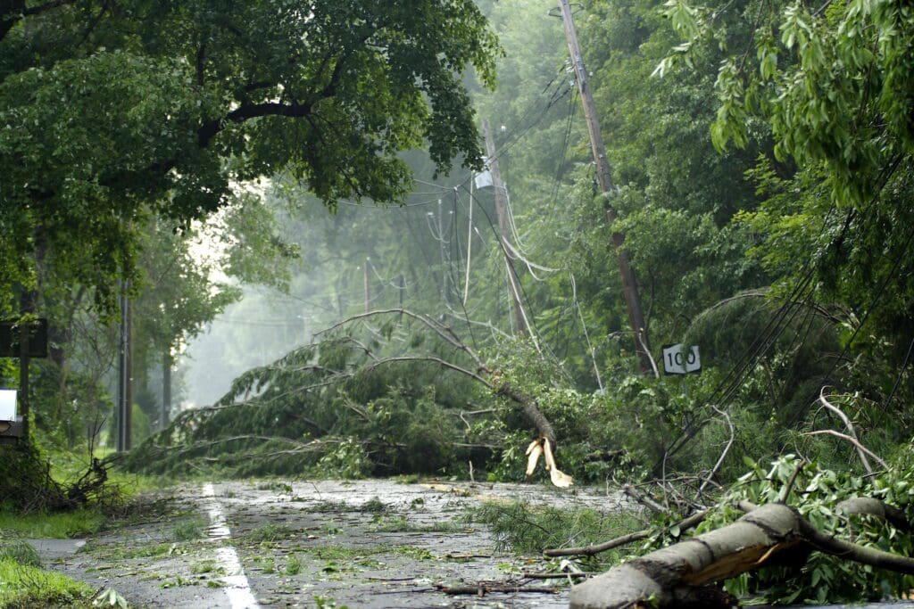
With the ability to aggregate and share data in real-time, utility companies are also able to respond more strategically when emergencies strike, coordinating the deployment of field crews in ways that get them to critical areas faster so they can repair assets, mitigate damages, and quickly restore services for impacted communities.

An enterprise-wide field management platform using geospatial data management allows utility companies to automate a wide variety of manual tasks as well – from generating and closing work orders to record keeping, report preparation, and scheduling of field crews And because geospatial data is easily accessible across the enterprise, from the back office to the field, teams can more effectively communicate and troubleshoot issues before they escalate.

Evaluating your utility field digital management solutions?

Help your team navigate its mobile workforce digitization journey with our guide, “Overcoming 5 Barriers in Field Operations”.

Chapter 5

A Checklist for Your Mobile Workforce Management Solution Featuring GIS Mapping

While geospatial technologies hold tremendous potential to transform utility field operations, not all solutions are the same. To truly optimize a mobile workforce solution to increase utility efficiency and effectiveness, make sure the platform you select offers the following functionality:

Also consider the rest of your technological environment when implementing a solution. Your new platform should integrate well with the business applications you rely on, such as Oracle and SAP solutions. It should also offer the flexibility and extensibility you need to upgrade your systems in the future as new business and geospatial technologies become available.

Chapter 6

The Future of Geospatial Technology

Geospatial technologies are advancing quickly – yet today we are only scratching the surface of what they will offer in the future.

AI and Machine Learning

Intelligent technologies, such as AI and machine learning, are rapidly maturing and promise to leverage the volumes of data residing across utility company systems in new ways to help teams fine-tune decision-making processes and streamline field operations. In the future, utility company personnel will be able to apply even greater amounts of data to their decision-making processes, which will enhance their ability to address infrastructure repairs, perform maintenance, and determine upgrade requirements. AI will also be used to better prioritize field crew deployments, performing deep-dive analyses of data to determine exactly where field crews are needed and how to get them there as quickly as possible.

Internet of Things

There are other technological trends transforming our industry today, including the fast-advancing Internet of Things. Connected smart devices, such as home security systems, appliances, and electric vehicles, have the potential to both generate new streams of geospatial information and record adverse events impacting utility assets, such as pipes and powerlines.

Mobile Industry Advances

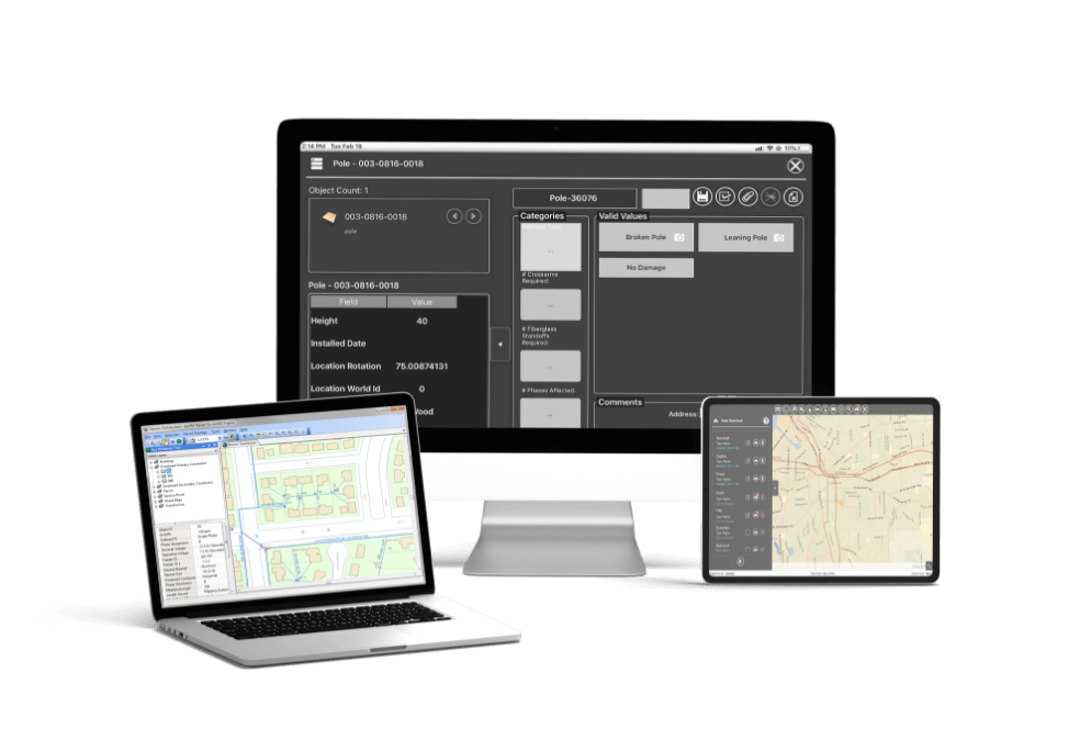
Mobile advances promise to redefine the way field workers do their jobs as well. Already, we are seeing geospatial technologies emerge that come complete with device-agnostic mobile apps that field workers can easily download on any Android or iOS device. These apps auto-populate data, sync real-time data with back-office databases, and offer robust functionality offline, thereby making it easy for field workers to accurately record geospatial information as they collect it.

Cloud Innovations

New cloud solutions are also emerging that are tailored for the needs of utility companies. Migrating applications, data, and workflows from legacy on-premises servers to advanced cloud platforms is an essential step to take as it will enable high-performance computing, universal data access, scalability, and ultimately the flexibility to address the fluctuating service demands that impact utility operations throughout the year.

Why Choose Epoch Solutions Group for Your Field Workforce Management Solution Using GIS Technology?

As with any large technological initiative, choosing the right industry partner when implementing a field workforce management platform with geospatial data management is key to your success.

Since 2006, utility companies have relied on Epoch Solutions Group to transform their field service operations by leveraging advanced geospatial and workflow automation technologies. Today, our mobile-first geospatial solutions automate operational workflows, thereby simplifying the work of field crews and back-office teams alike.

Epoch solutions

As our flagship solution, the EpochField platform delivers map-centric features and an intuitive user interface that make it easy for utility employees to apply geospatial data as they manage the full complexities of their field operations. Built on advanced business process automation technology, EpochField combines a powerful back-office scheduler with work type authoring and work order creation applications to help utility personnel create, streamline, and manage their asset workflows.

EpochField can be implemented in the exact configuration your utility company needs to optimize all your resources, expedite response times, and deliver the reliable service your customers expect and deserve. Let us help you meet the future head on.