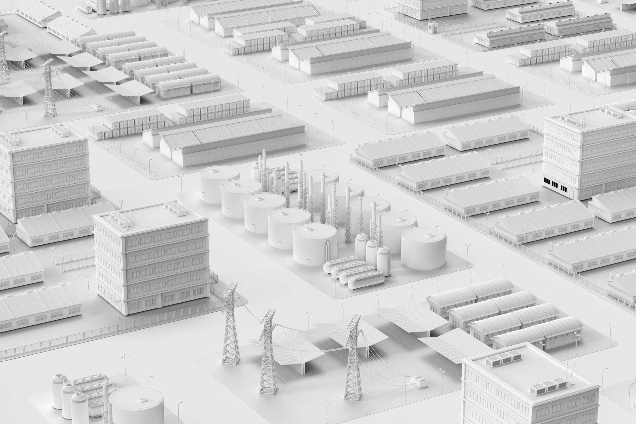
Natural disasters like the recent landing of Hurricane Ian on the shores of Florida remind us of how important our energy resources are and just how complex the management of them can be.
While millions of Floridians waited patiently for power to be restored in the aftermath of the storm, the utility companies grappling with the event pulled thousands of field crew operators together in a coordinated taskforce to bring much-needed energy resources to the areas impacted.
While hurricanes the likes of Ian occur infrequently, the fact is that the gas and electricity Americans rely on from coast to coast are both vitally important to the safe, efficient operation of our economy and reliably available thanks to the dedication, expertise, and responsiveness of utility companies nationwide.
To help mitigate the effects of outages large and small, a new generation of geospatial mapping technologies is fast advancing. These innovative solutions are already proving to be true game changers for the industry by streamlining, automating, and expediting energy delivery processes and enabling real-time data visibility and sharing across field crew and back-office teams alike.
Here are a few examples of how the technology works – and how Epoch Solutions Group is leading the way to a new, more efficient, reliable energy delivery network by placing cutting-edge innovations in the hands of digital-savvy utility companies.
Empowering Mobile Field Crews at Ameren
For too long, staff at Missouri-based Ameren relied on mobile mapping solutions that were only updated quarterly, resulting in outdated information—or data that could only be used online—which was impractical for workers on the go. And because Ameren’s existing work management tool didn’t have an integrated map, mobile crews struggled to gain spatial reference as to where their work needed to be done.
To address this challenge, the utility partnered with Epoch Solutions Group to implement its EpochField field operations management platform and leverage the company’s extensive GIS consulting services.
Scalable and highly configurable, the EpochField mobile mapping solution is built on ArcGIS Runtime SDK for .NET. Using the SDK’s Xamarin libraries, the app runs on Windows 10, iOS, and Android devices, allowing users to work offline or online, download and view updated GIS data on demand, and draw accurate field diagrams with the map markup tool.
Equipped with an offline, map-centric mobile solution configured to their unique needs, mobile crews at Ameren are now completing their daily work—from routine maintenance and inspections to making repairs and dealing with service outages—using the most up-to-date information available.
Because they enjoy offline functionality and real-time data sharing with back-office staff, field operations have been transformed, communication between teams is much faster and clearer, and all stakeholders company-wide can now deliver the outstanding, reliable service their customers have come to expect.
Read the full case study here.
Contact an Epoch Sales Consultant today ⟶
Modernizing Workforce Management at Entergy
A full-service utility, Entergy generates and distributes electric power to 2.9 million customers across Arkansas, Louisiana, Mississippi, and Texas, and natural gas to 108,000 customers in the New Orleans and Baton Rouge areas.
Recently, Entergy embarked on an enterprise strategic initiative to modernize its electrical and gas operations by deploying an enterprise asset management system (EAM) and a workforce management system (WFMS) across all its operating companies.
Initially, Entergy selected EpochField to enable faster, more efficient field inspections of gas assets, and in 2018 the utility company built on this implementation by deploying EpochField as its mobile workforce management solution for all field crews responsible for electric transmission and distribution, gas, and vegetation management.
Ultimately, EpochField proved to be the right solution for Entergy because the platform was able to integrate with the utility’s complex legacy systems for GIS and asset management, and with its mobile client application as well.
A single product suite for all field workflows, EpochField delivered the geospatial data crews and back-office employees needed to schedule, author work types, and create work orders for the utility’s thousands of field crew workers. According to Entergy’s management team, EpochField outperformed other solutions on the market in its ability to automate and expedite field service operations and workflows.
Since the full deployment of EpochField in 2020, Entergy has achieved the operational efficiencies and enterprise-wide integration the utility company needed to ensure reliable energy delivery to its vast customer base. Today, the tool is proving instrumental in the utility’s quest to reduce overall storm response time which, in turn, is yielding significant financial benefits – and consumer goodwill – as efficiency gains are improving service uptime while reducing operational costs.
Read the full case study here.
Enabling Real-Time Data Visibility at FortisAlberta
As a regulated electricity distribution utility serving central and southern Alberta, Canada, FortisAlberta is responsible for ensuring the safe and reliable delivery of electricity to more than half a million residential, farm, and business customers across the region.
To achieve the consistent reliable service its customers require, the utility’s 1,100 employees work day and night to keep systems up and running, prevent and respond to outages, survey and repair infrastructure assets, and maintain the power grid. Recently, FortisAlberta has developed a Grid Modernization Program that includes enhancing, replacing, or upgrading existing operational technology and information technology systems to better serve its customers, improve the reliability of its distribution network, be prepared for changes in the regulatory environment and distribution grid with the introduction of renewable energy, and gain operational efficiencies.
The solution is an enterprise-wide Mobile Workforce Management (MWFM) system based on Epoch Solutions Group’s EpochField technology and specifically, its Work Scheduler Solution.
Unlike other applications on the market, FortisAlberta found the EpochField platform to be configurable for their unique needs. “Our objective is to put in place a single system for all work scheduled in the field, and to provide all stakeholders wherever they may be located with a single source of truth on what has been completed, what is happening now, and what is planned for the future,” said Dave Stratichuk, Manager of Operation Technology for FortisAlberta.
According to Stratichuk, the tool is performing as planned. “When we are making real-time scheduling decisions, we automatically have accurate, up-to-date information on who is on vacation, who is taking sick leave, and who has other scheduling limitations. Before, all this information had to be input into systems manually,” said Stratichuk.
Read the full case study here.
Digitizing Field Operations at San Diego Gas & Electric
San Diego Gas & Electric (SDG&E) serves approximately 1.5 million electric and 900,000 gas customers in Southern California’s San Diego and Orange County communities. Until recently, the utility company relied on its legacy back-end systems and applications to guide its field operations, including annual infrastructure patrols, technologies put in place years ago.
However, when the software provider of SDG&E’s primary field management solution announced its plans to retire the application, SDG&E’s management made the decision to invest in new infrastructure tools and technologies to power the future of its field operations
According to Jeffrey Lewis, an experienced industry consultant working with SDG&E to orchestrate the digital transformation initiative, the utility was seeking a new platform designed to deliver more robust functionality to its field crews and to aide in the annual patrols critical to identifying areas in need of further inspection, vegetation management, repairs, and other routine maintenance tasks.
After a thorough review of solutions, SDG&E selected the EpochField enterprise-grade field crew mapping and management solution. A platform-level application, EpochField digitizes field operations data and connects field workers on the frontlines to third-party, back-office systems and applications – from anywhere their deployments take them via its device-agnostic mobile app.
Before implementing EpochField, SDG&E field workers relied primarily on paper maps – some 27,000 of them – to manually record infrastructure data collected in the field during its annual field patrols. This process generated volumes of hard-written forms, sketches, and other documents that had to be individually digitized and formatted for uploading to SDG&E’s back-end systems and applications.
For SDG&E, implementing EpochField has been a huge step toward faster, more efficient field operations – and more sustainable business practices overall. “EpochField has empowered our field workers with its intuitive, automated mobile app which has delivered all the functionality workers need to quickly and easily record infrastructure data in the field, right from their smartphones, tablets, and laptops,” said Lewis. “Now, for the first time, SDG&E is bypassing many of the redundant manual steps once involved in the collection, recording, and processing of field data.”
Plus, he adds, fewer manual touchpoints have led to greater data integrity and accuracy, vitally important to grid safety and compliance, and to ensuring reliable service uptime for all the utility’s customers.
Read the full case study here.
Discover how geospatial technology can transform your own field crew operations. Request a free EpochField demonstration today.