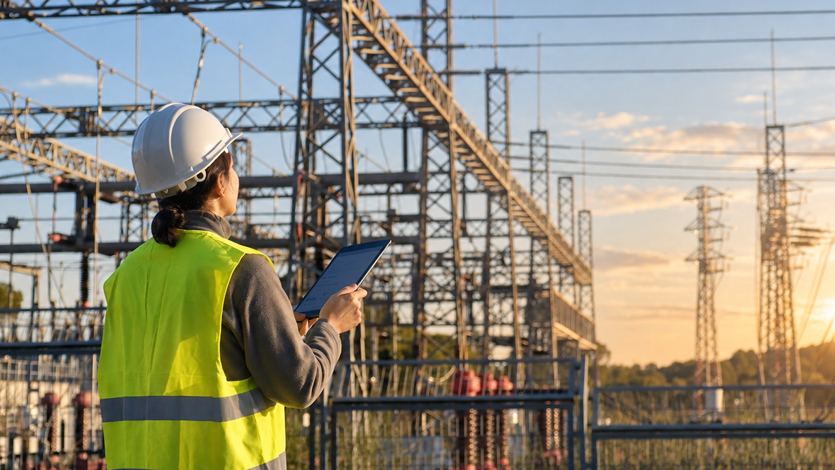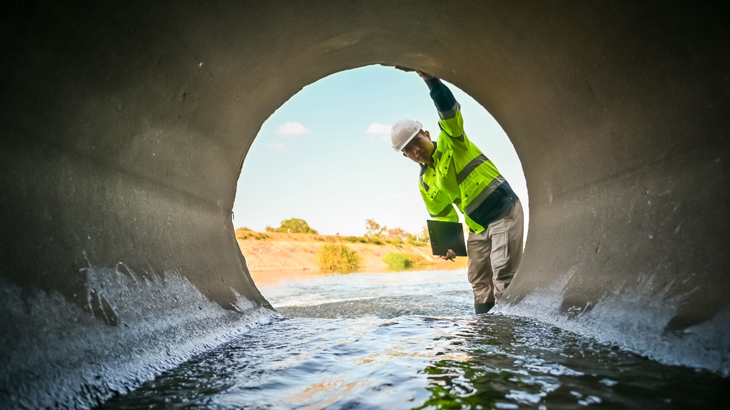

Severe weather creates significant challenges for telecommunications providers. High winds, flooding, wildfire, extreme temperatures, and major storms can damage infrastructure, interrupt service, restrict asset access, and place enormous pressure on field organizations. As weather events become more frequent and severe, maintaining network reliability requires organizations to prepare for disruption before it occurs.
Building network resilience requires more than strengthening physical infrastructure. It also depends on accurate GIS data, visibility into vulnerable assets, connected operational systems, and field teams that can access and update critical information wherever they’re working. Together, these capabilities provide the situational awareness and operational coordination needed to prepare for, respond to, and recover from severe weather events.
GIS and mobile field operations play a critical role in strengthening telecommunications network resilience. By connecting geospatial intelligence with field workflows, organizations can improve preparedness, coordinate response efforts, and capture more accurate field data throughout the event lifecycle. Here are six ways GIS and connected mobile operations help telecommunications providers build more resilient networks.
1. Understand Network Vulnerability Through GIS
Resilience begins with understanding the network. Telecommunications infrastructure – including fiber, towers, cabinets, splice points, conduit, power sources, and facilities are distributed across large geographic areas, making it difficult to assess risk without a complete view of the network.
GIS enables organizations to evaluate these assets alongside information such as flood zones, historical storm patterns, wildfire exposure, terrain, vegetation, access routes, and critical facilities. By layering environmental and operational data, planners can identify concentrations of vulnerable infrastructure, prioritize mitigation efforts, and better understand where severe weather could have the greatest operational impact.
However, even the most advanced GIS analysis is only as reliable as the underlying network records. Accurate asset locations, attributes, and network relationships provide the foundation for effective resilience planning and informed operational decision-making.
2. Improve the Accuracy of Network Records
During a major weather event, inaccurate network information quickly becomes an operational problem. Field teams need reliable information about where infrastructure is located, what assets are present, and how to access them in order to respond safely and efficiently.
Mobile GIS workflows help keep network records aligned with the physical network. As infrastructure is constructed, inspected, repaired, or replaced, field personnel can capture asset locations, document asset condition, record changes, attach photographs, and update inspection information directly from the work location.
By synchronizing this information with the enterprise GIS, organizations create a continuous feedback loop between the physical network and its digital representation. The result is more accurate network data that supports better planning, faster response, and more informed operational decisions throughout the resilience lifecycle.
3. Connect GIS with Operational Systems
GIS becomes even more valuable when connected with enterprise systems that support network operations. Telecommunications providers often rely on multiple platforms for network management, work management, customer operations, asset management, and other business functions. While each system serves a specific purpose, disconnected environments can create information silos and force teams to spend valuable time reconciling data, especially during a critical emergency.
Integrating these systems provides a more consistent view of network assets, work assignments, damage assessments, inspection results, and restoration activities. With accurate information flowing across the organization, teams can improve coordination, reduce manual effort, and make faster, more informed operational decisions.
The goal isn’t for one system to do everything. Instead, it’s to allow each platform to perform its intended function while ensuring the right information is available where needed.
4. Equip Crews with Map-Centric Mobile Workflows
During severe weather response, field personnel may be working in unfamiliar areas, around damaged infrastructure, or in locations with limited connectivity. A map-centric mobile environment gives crews the geographic context they need to understand their assignments and navigate the physical network safely and efficiently.
Instead of relying solely on work orders or location descriptions, technicians can access relevant maps and asset information while performing damage assessments, inspections, infrastructure patrols, repairs, and other field activities. This provides greater situational awareness and helps crews make informed decisions in the field.
Because the same weather events affecting telecommunications infrastructure can also disrupt the connectivity mobile applications normally depend upon, offline capability becomes essential. Crews need uninterrupted access to maps and field workflows while disconnected, with the ability to synchronize updates once connectivity is restored.
5. Create Shared Operational Visibility
Major restoration efforts involve more than individual field crews. Supervisors, network operations personnel, GIS teams, contractors, planners, and leadership may all need visibility into rapidly changing field conditions.
Digital field workflows help create a more consistent operational picture by providing visibility into:
- Where damage has been identified
- Which assets have been inspected
- What work remains outstanding
- Where crews are operating
- Which areas require additional resources
Instead of relying on disconnected phone calls, spreadsheets, and paper reports, organizations can establish a consistent flow of information between the field and operations center. The result is improved coordination, faster decision-making, and greater confidence that every team is working from the same information.
6. Learn From Every Event
Network resilience doesn’t end when service is restored. Every event produces valuable operational data that can improve preparedness for the next one. Damage assessments, inspection results, asset condition, work history, and restoration activity can be analyzed geographically to identify recurring damage patterns, difficult access areas, aging infrastructure, restoration bottlenecks, and data gaps. These insights help organizations better understand where vulnerabilities exist and where improvements will have the greatest impact.
That information can guide future inspection programs, resilience planning, capital investment decisions, and emergency response exercises. Rather than treating each event as an isolated incident, organizations can use every response to continuously improve the resilience of the physical network.
Resilience is a continuous cycle:
PREPARE
RESPOND
CAPTURE
ANALYZE
IMPROVE
Over time, every event contributes to a better understanding of network vulnerability and a more informed response strategy.
How EpochField Supports Telecommunications Network Resilience
Technology alone cannot create a resilient telecommunications network, but accurate geospatial information and effective mobile field operations can give organizations the visibility and coordination needed to prepare, respond, and recover from severe weather events.
EpochField is a map-centric mobile workforce management platform designed for organizations managing geographically distributed infrastructure. It connects field teams with GIS, work assignments, asset information, inspections, and digital workflows through a mobile environment that supports both online and offline operations.
EpochField supports:
- Map-centric mobile work management
- Offline GIS access
- Digital inspections and damage assessments
- Configurable field workflows
- Asset and location-based data collection
- GIS and enterprise system integration
- Field-to-enterprise synchronization
By connecting GIS intelligence with the people maintaining the physical network, EpochField helps telecommunications providers improve operational visibility, maintain accurate network records, and strengthen resilience across preparedness, response, and recovery.