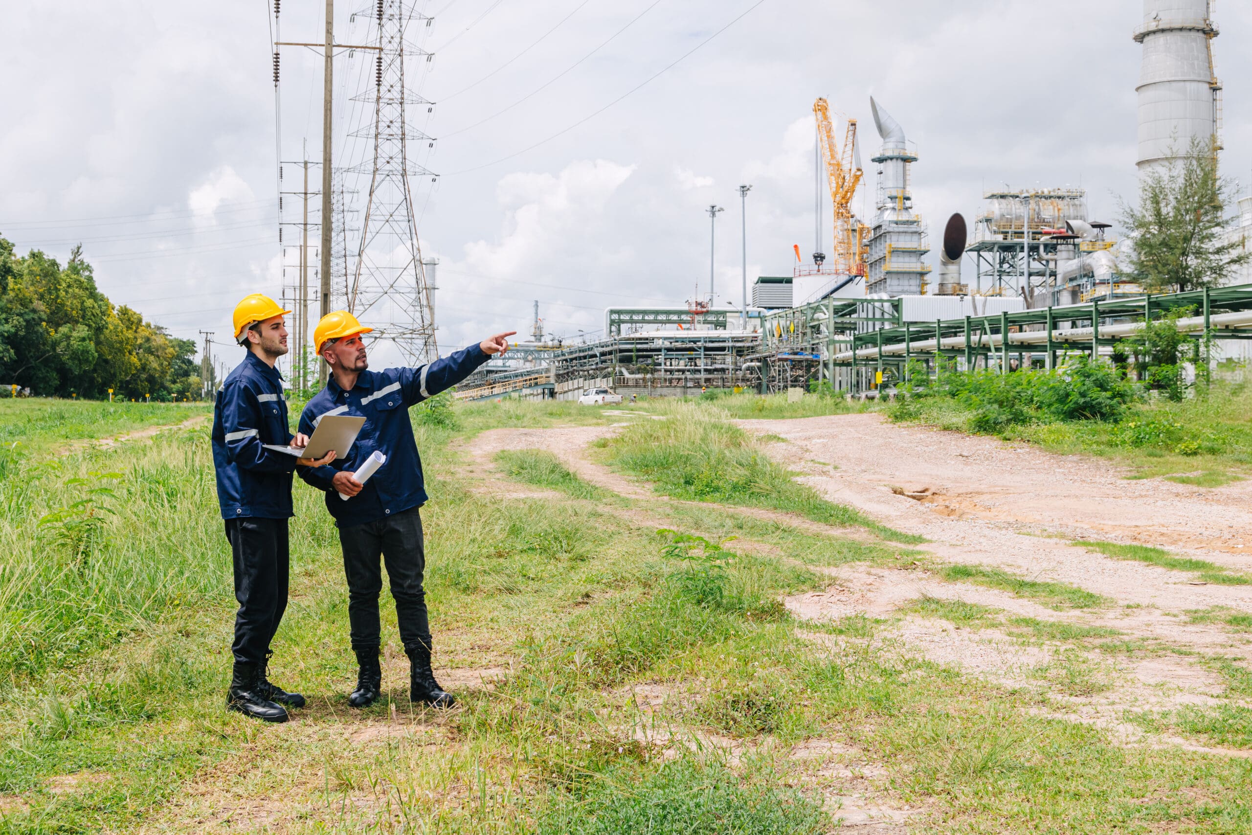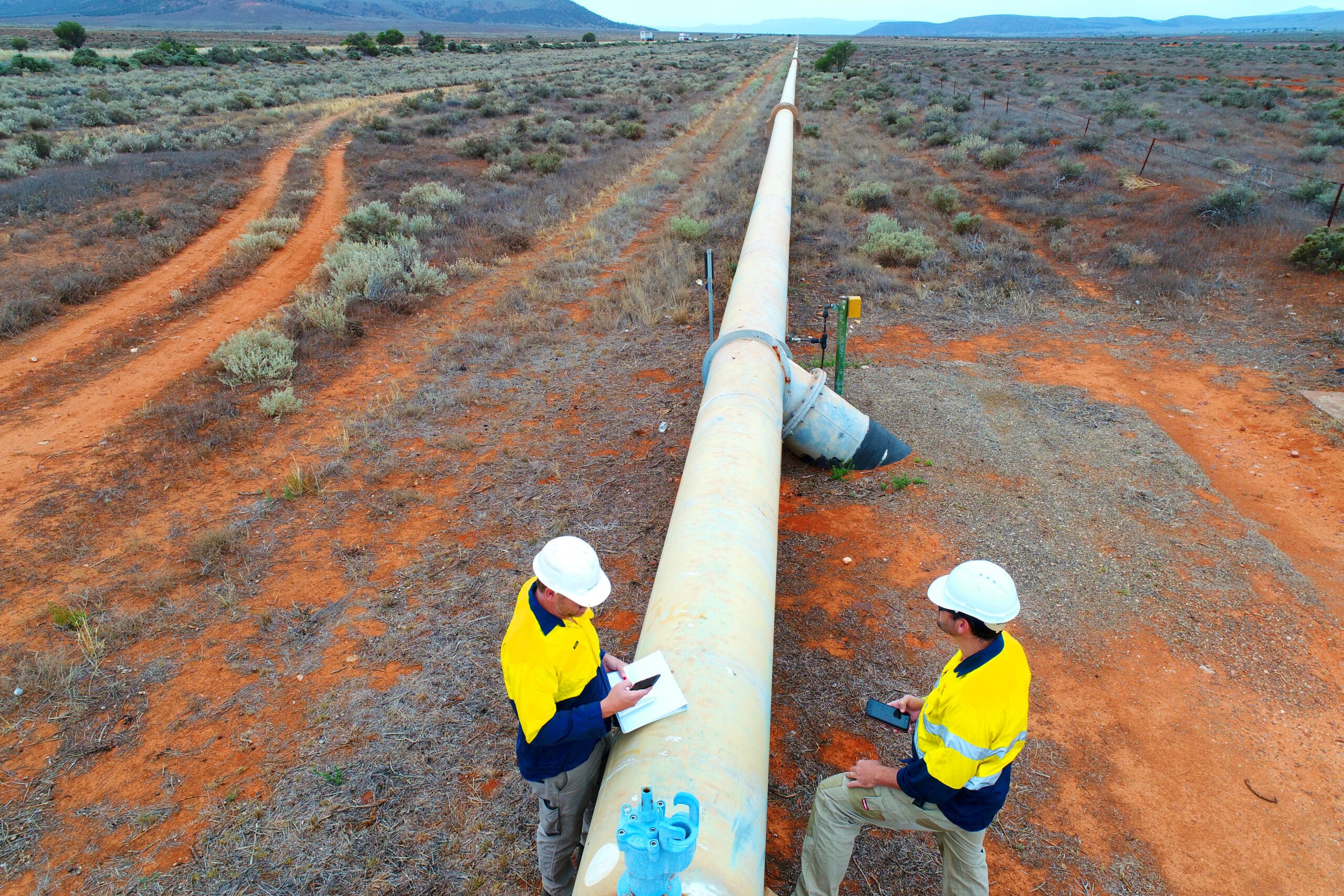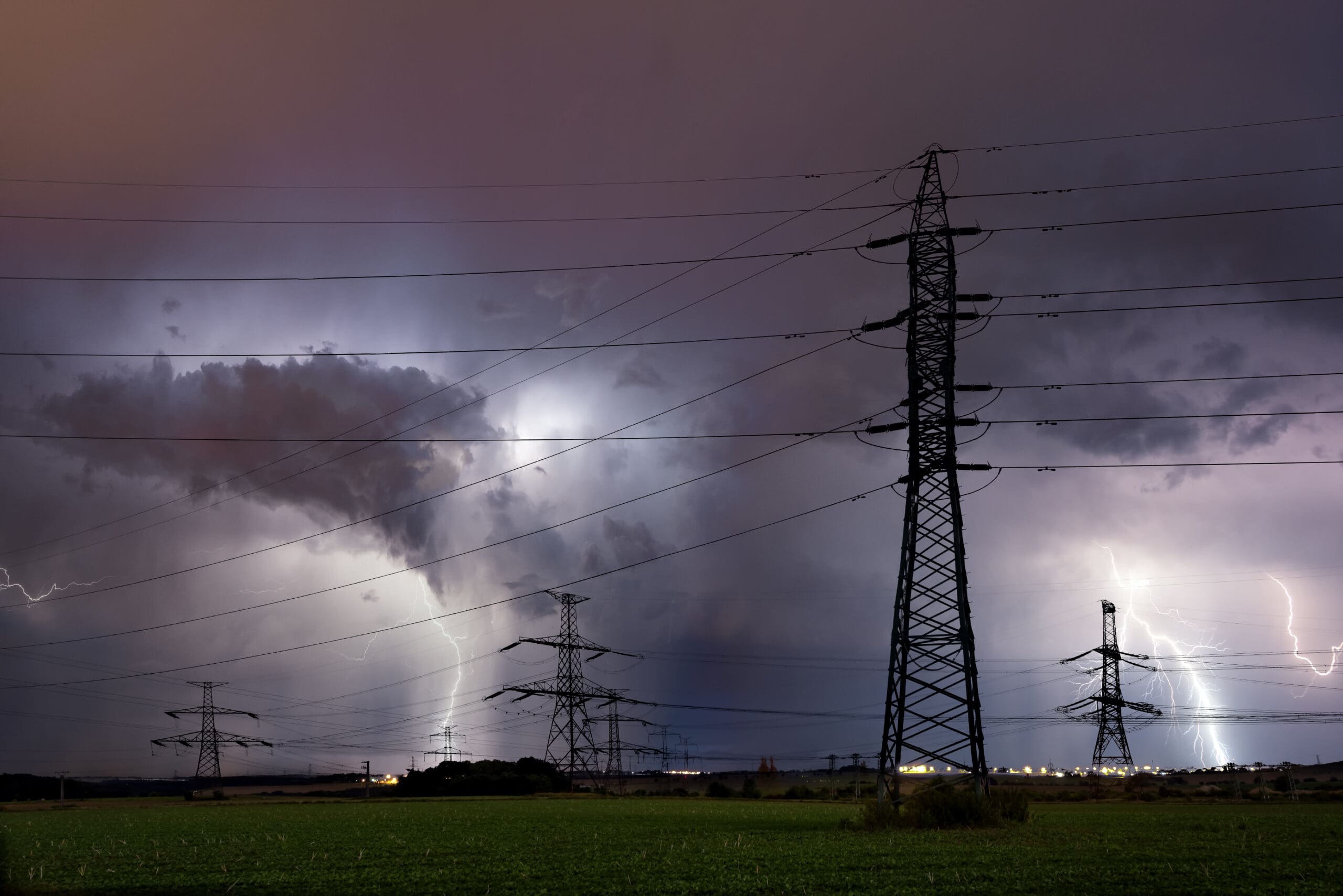
Utility field crews face changing environments where safety risks can emerge in minutes—from sudden weather events and traffic disruptions to public demonstrations and infrastructure failures. Without the right tools to provide real-time situational awareness, workers may enter hazardous areas without warning, increasing risk and slowing response times.
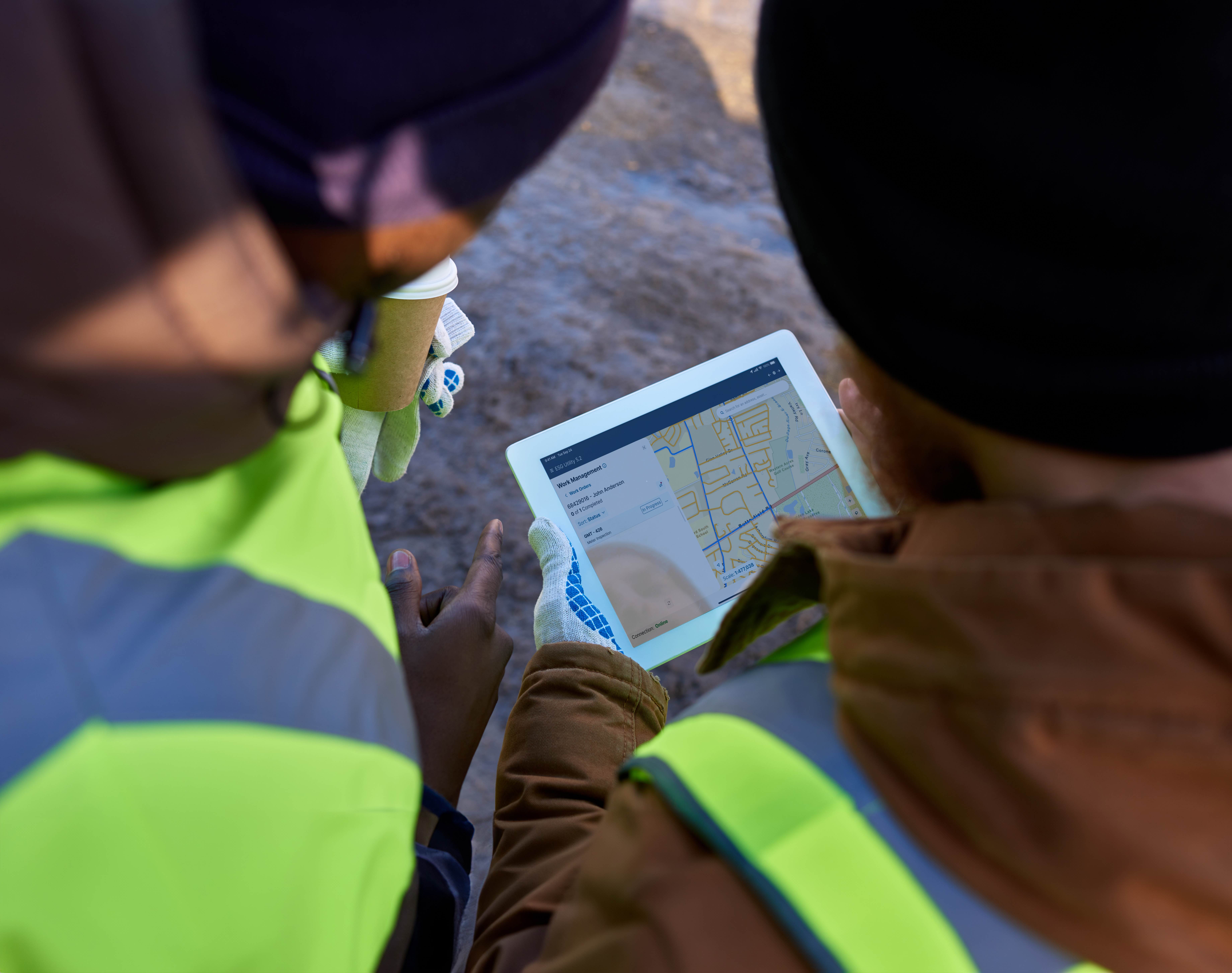
Modern mobile workforce management platforms like EpochField give utilities the ability to protect crews with live geospatial data, GPS breadcrumbing, geofencing, and automated alerts—directly integrated into the tools they already use to manage daily work.
A Real-World Example: Navigating a Fast-Moving Risk Event
Picture this: A gas technician is en route to investigate a leak. Just blocks away, his phone pings. An automated alert warns that a construction crew has struck a water main nearby, flooding his planned route. The street ahead is now impassable.
He can’t see the hazard yet, but it’s already been mapped, reported, and delivered to his screen in real time. With a tap, he views the exact perimeter of the danger zone, reroutes on the spot, and updates dispatch with a new ETA. The moment he arrives, his location syncs automatically, giving the back office and other crews a live, accurate picture of the situation.
This isn’t a “what if” scenario. It’s the kind of field intelligence that utilities can deliver today with EpochField. From GPS breadcrumbing to geofencing, lone worker alarms to live map layers, EpochField brings crucial real-time visibility into a single mobile experience. It’s proof that operations can be both agile and accountable, turning unpredictable events into measurable gains in performance, safety, and customer trust.
The Growing Challenge of Utility Field Safety
For utility field workers, changing circumstances demand immediate decisions, especially when crews are spread across wide territories, working alone, or entering unfamiliar areas. In those moments, having the right information at the right time is what separates an informed decision from a dangerous one.
For example, minutes matter when a lone worker slips or becomes unresponsive. Situations like this have led more utilities to adopt advanced safety capabilities, such as:
- Lone worker alarms that prompt regular check-ins and alert dispatch if the worker does not respond.
- Geofencing that automatically flags entry into restricted or dangerous areas.
- GPS breadcrumbing that tracks location in real time so responders can find a worker quickly.
- Live data layers that update in the background and present the latest safety information without manual refreshes.
How a Major Gas Utility Delivered a Live Safety Map in Under 72 Hours
A West Coast gas utility recently tapped into EpochField when widespread protests across a major metropolitan area created new safety and operational risks for their crews. Streets were blocked, traffic patterns changed quickly, and certain areas became unsafe for workers.
But they still had to respond to service calls across the city. The challenge was how to keep crews away from emerging hazards without delaying essential work.
Leadership made a request: create a live map layer showing event locations that gets delivered to every mobile device… and do it in under 72 hours.
With their previous mobile solutions, deploying an update like this would have taken a week or more. Delivering a live safety layer to every field device in under 72 hours simply wouldn’t have been possible. The speed of deployment demonstrated what a modern, configuration-driven platform can enable.
How They Made It Happen with EpochField
The solution came together without building new software or asking field teams to install anything. Using EpochField’s existing capabilities, the utility:
- Connected to a third-party provider that geolocates planned and active event activity using public announcements and social media monitoring.
- Created a new map service in the company’s internal portal environment.
- Used EpochField’s Web Suite tools to push the new layer as a configuration update, so it appeared instantly on all devices.
From the crew’s perspective, nothing changed in their workflow. When they opened EpochField, the new safety layer was simply there, integrated into the same map they use every day. The data refreshed every 10 to 15 minutes and appeared as points on the map overlaid with existing infrastructure and work orders. Crews could zoom in, tap on a location, and see key details, which helped them decide whether to proceed, delay, or reroute.
Because field assignments can range from emergency pipe repairs to routine locates and maintenance work, visibility into emerging risks is critical. Having real-time event data directly embedded within the operational map gave crews the clarity they needed to make informed decisions before arriving on site.
How EpochField Enabled a Rapid, Risk-Aware Rollout
Several features of EpochField made the rapid deployment possible:
- Map-centric design meant crews could view risk data in the same visual context they use daily for infrastructure work.
- Integration flexibility allowed the utility to pull data from its internal portal rather than being limited to ArcGIS Online.
- Configuration-based updates made it possible to test and deploy changes without a new software release.
- Real-time data streaming kept information fresh without crews having to manually refresh.
The team was able to make changes on the fly—configuring updates, testing them, and deploying them instantly to field users without waiting for a formal software release.
Worker Safety Impact and Future Applications
With the new map layer, crews had a clearer picture of where they were headed before they arrived. This helped them avoid delays, reroute around high-risk areas, and stay out of dangerous situations altogether.
Feedback from the field was positive. Crews appreciated having clear visibility into when events were happening and exactly where they were located. The ability to see emerging risks directly within their operational map helped them plan ahead and avoid unnecessary exposure.
The success is now shaping other projects, including potential layers for wildfire boundaries, earthquake alerts, and internal emergency updates—integrating real-time safety awareness directly into the map view crews already trust.
For example, the emergency management team already maintains an internal portal application where events are marked up and shared with leadership. The next step is evaluating how that information can be surfaced directly to field users within EpochField, eliminating reliance on email chains or verbal updates and ensuring critical safety information is communicated instantly, visually, and in context.
A Model for Modern Utility Field Crew Safety
This utility’s story is one example of how real-time, map-based intelligence can protect workers in fast-changing conditions. The same capabilities apply to severe weather, infrastructure failures, or unexpected hazards in the field.
Because EpochField integrates safety features into the same platform used for daily work, crews get the information they need without juggling multiple apps or devices. For utility leaders, that means faster adoption, better compliance, and stronger safety outcomes.
When safety tools keep pace with the realities of field work, crews can make better decisions in the moment—and everyone goes home safe at the end of the day.
Want to empower your teams with real-time field intelligence?
Contact our team to discover how EpochField can improve safety and efficiency across your field operations.